

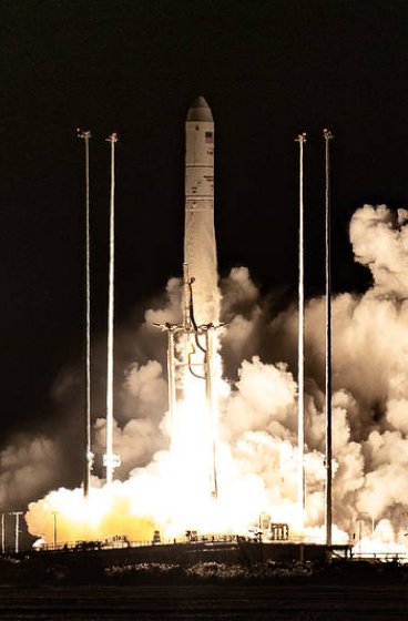
NASA’s LRO images Falcon 9 crater on Moon following an international tracking effort that pinpointed where a discarded rocket stage crashed into the lunar surface. Between August 11 and August 12, 2026, the Lunar Reconnaissance Orbiter captured detailed pictures of the artificial impact feature, which was created on August 5 when a SpaceX Falcon 9 upper stage struck the surface. The booster had originally been launched in January 2025 during the Firefly Blue Ghost 1 mission before its trajectory eventually brought it down onto the Moon.
NASA’s LRO images Falcon: Precise Orbital Maneuvers and Timing Requirements
Photographing the fresh crash site demanded complex spacecraft navigation. The Lunar Reconnaissance Orbiter maintains a pole-to-pole orbit every two hours at an altitude of roughly 60 miles, traveling at a velocity of 1 mile per second. Because the Moon rotates slowly underneath the orbiter, the targeted impact site took six days to move directly into view.
To capture the scene, spacecraft controllers tilted the orbiter so its Narrow-Angle Camera could point precisely toward the impact location during overhead passes. Timing was exceptionally tight. If the camera triggered even 10 seconds too early or too late, the target area would shift off-center by 10 miles. The Narrow-Angle Camera, capable of resolving surface features as small as 3 feet across, successfully gathered clear views across various lighting angles.
Analyzing the Dimensions of the Lunar Impact Zone
The resulting orbital images allowed researchers to calculate the precise physical dimensions of the newly created feature. Measurements of the crater rim show it spans 60 feet in width. By evaluating the length of the shadows cast across the depression, scientists determined the crater is less than 10 feet deep.
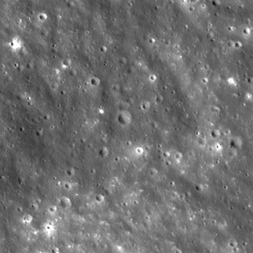
The imagery reveals distinct bright and dark rays extending outward across the surrounding terrain. The darker streaks consist of surface dust and rocks that had experienced long-term space weathering from solar wind exposure, galactic cosmic rays, and micrometeorite impacts. The physical impact excavated this weathered material from about 1.5 feet beneath the surface. Meanwhile, the brighter streaks found closer to the rim represent pristine, unweathered material thrown out from greater depths underground.
Global Coordination and Trajectory Calculations
Locating the exact collision coordinates required extensive collaboration between amateur observers and government agencies. Independent astronomers initially flagged the rocket’s trajectory using publicly available orbital data. NASA’s Center for Near Earth Object Studies, based at the Jet Propulsion Laboratory in Southern California, utilized the event to test and refine predictive tracking models for planetary defense applications.
After refining the predicted impact site, NASA shared the coordinates with the Republic of Korea’s Korea Pathfinder Lunar Orbiter team, also known as Danuri. Just hours after the crash, Danuri used its high-resolution LUTI camera to photograph the area, confirming the prediction was accurate to within 0.6 miles. Danuri then sent updated coordinates to NASA, allowing the Lunar Reconnaissance Orbiter team to refine its follow-up imaging passes and confirm the crater’s final location at 19.4759°N, 266.7138°E at an elevation of 511 meters.